Day 32 – Portland Island to James Island
Date: July 27
Distance: 32 nautical miles
Duration: 13 hours including a 5 hour stop at Roche Harbor
Actual conditions:
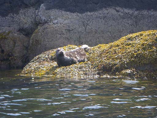
 |
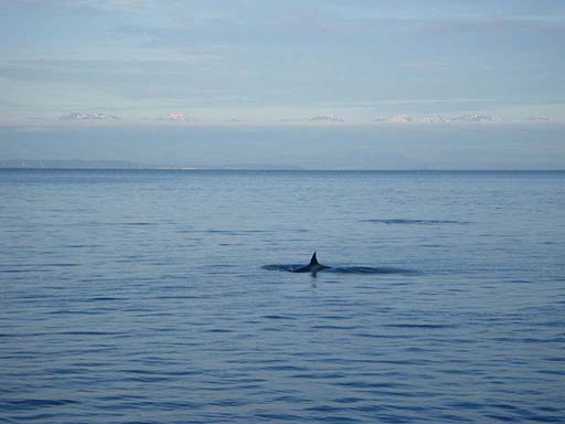
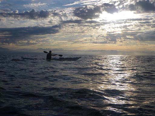
| A seal followed us in Haro Strait |
 |
| Our kayaks at the dock in Roche Harbor |
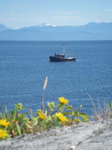
 |
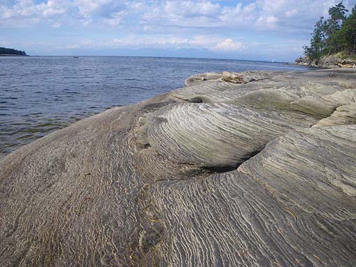
| Parched grass on Spieden Island. It must have been sunny here! |
 |
| Jonathan waits for a ferry near Lopez Island |
Day 33 – James Island to Camano Island State Park
Date: July 28
Distance: 42 nautical miles
Duration: 12 ½ hours with two brief stops of only a couple minutes each
Actual conditions: Tide race in Rosario Strait at max ebb, calm early then 25 knot west winds
We started the day going through a tide race while crossing Rosario Strait at max ebb to take advantage of the current. Even though the wind was light, there was some residual energy in the sea from the previous day's gales through the Strait of Juan de Fuca. There were breaking waves and strong currents boiling around over a large area. We navigated through fog and went through Deception Pass-Canoe Pass at the beginning of the flood. We had good current assist going South past Hope Island and along the north east side of Whidbey Island. Soon the wind picked up as gale force westerlies developed in the Strait of Juan de Fuca and pushed in over Whidbey Island. We crossed to Camano Island with a strong cross wind and white caps. Because of the conditions we decided to try to paddle the east side of Camano Island. Unfortunately, without a proper chart (we ran off our charts at Hope Island) we did not realize that there is not enough water to do so at the stage of tide we were at. The small sketch of a map we had was totally inadequate, but we had been unable to find a place to buy charts. So we paddled toward the east side until we discovered that we were going to run out of water and could be trapped in a giant mud flat if the tide went out. We had to turn back and paddle several miles directly into the strong wind in order to round Camano Island to the west. By the time we got out of the shallows we were fighting a strong tide as well as the wind. We fought wind and tide most of the way to camp. Jenny was exhausted and we searched for a place to get off the water, but the shore of Camano Island was a continuous barrier of private beach, private tidelands, no-tresspassing signs for miles and miles. We spend several exhausting hours in strong winds and rough seas with nowhere to land legally. We were disgusted. Who are these people? We had to land on a private beach and phone Kirti to ask her to look for a place where we could land legally and camp. She pointed us to Camano Island State Park which was still almost 12 miles away. We eventually made it there, landed and had lunch at 5:00pm. It was a long hard day, but the Cascade Marine Trail camp ended up being really nice. What a wonderful concept that is! No pictures were taken today.
Day 34 – Camano Island to Bain Bridge Island State Park
Date: July 29
Distance: 35 nautical miles
Duration: 10 hours with three stops including lunch
Actual conditions: North wind around 15 knots
We had wind at our back and current with us for most of the day. We did 16 miles with an ebb current to Possession Point where we stopped for lunch. We then timed it so that we could ride the flood down to camp. The crossing after Possession Point was a long one and it was a very busy area for shipping traffic. After landing at camp two fellow kayakers arrived at the same spot. Mary and Steve had been out for a daytrip. They brought us a cold beverage and then spent time chatting about kayaking - really nice folks! This is a Cascade Marine Trail camp. It doesn't have any privacy like the others, but it was great to arrive late in the day on a Saturday and have a camp spot close to the beach when all the other sites were taken.
 |
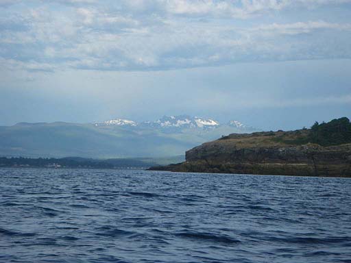
| Mount Rainier from Bainbridge Island State Park |
 |
| The Cascade Marine Trail site at Bainbridge Island State Park |
 |
| A kayakers-only campsite! |
Day 35 – Bain Bridge Island to Tacoma Narrows Bridge
Date: July 30
Distance: 32 nautical miles
Duration: 8 ½ hours with one lunch stop
Actual conditions: Gentle tailwind, tidal currents mostly against us
We had a leisurely breakfast and packing waiting for the ebb to weaken. The sun was shining. Mary and Steve came over to chat a bit and inquire about our packing and gear. They were very nice people. They took pictures of us and sent us on our way. We planned to eddy hop until the current changed. We stopped at Blake Island State Park/Tillicum Village to have lunch and look around at the totems, salmon bake, gift shop, etc. After Blake Island we got to the narrow channel west of Vashon Island only to find out that it was not flowing the way we expected. I have later discovered that it flows perpetually north. So we didn't get the push we had expected from a flooding tide. Instead, we resorted to our, by now well practiced, eddy hopping and made good progress. At the end of Vashon Island we crossed over and found a current running into the narrows but it was pouring in across the direction we wanted to go and then a stiff head wind picked up and whitecaps developed. The waters around Gig Harbor became infested with crazed people in loud fast water vessels intent on making as much noise and commotion as possible. I think the goal was to burn as much gasoline as they could while being as obnoxious as possible. Yep, we were definitely back in the USA! Near the bridge the currents turned against us and Tacoma Narrows started ebbing an hour and a half early (at least according to Capt. Jack's). We had to claw our way along shore the last mile to camp. Camp was a day use state park except for the Cascade Marine Trial camp, so when the park closed at dusk we had it all to ourselves. We had a nice dinner and a quiet night except for the frequent train whistles.
 |
| Preparing to leave Bainbridge Island |
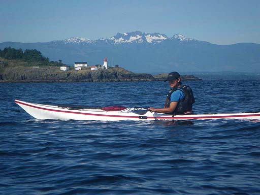
 |
| Jonathan |
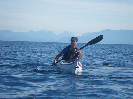
 |
| Jenny |
 |
| Seattle |
 |
| Jenny passing Seattle |
 |
| Mt Rainier was spectacular hovering literally miles above its highest foothills |
 |
| Longhouse at Tillicum Village on Blake Island |
 |
| Totem on Blake Island |
 |
| Mt Rainier towering above Tacoma |
 |
| The Cascade Marine Trail camp site at Tacoma Narrows Park |
 |
| Tacoma Narrows Bridge |
Day 36 – Tacoma Narrows to Boston Harbor, Olympia
Date: July 31
Distance: 19 nautical miles
Duration: 5 hours
Actual conditions: West wind at 10 knots, sunny
We had smooth conditions for much of the last day of paddling and the sun was shining as well. We saw lots of kayaks right around Boston Harbor, more in fact than on the entire rest of the trip combined. Kirti pulled up in the car just as we arrived to land. What perfect timing! The adventurers are together again and the mission is complete.
 |
| Crippled (not really) at the end of the journey in Boston Harbor |
 | ||
Our only navigation aid for the last 150 miles! Don't try this at home!
|

 |
| These hands don't look like they paddled from Alaska either |