Day 27– Copeland Islands to Favada Point on Texada Island
Date: July 22
Distance: 24 nautical miles
Duration: 6 ½ hours paddling without a land stop
Actual conditions: current against, light wind against
It was uphill all the way today. We started off with current against us and a light wind against us as well. We eddy hopped up to the point just North of Powell River. We passed a lot of nice houses. We crossed to Harwood Island and then on to Blubber Bay on Texada Island. On the crossing we passed a sailboat that we were racing yesterday. They even threw up a second sail but we were too fast for them. Again nice views of mountain peaks on Vancouver Island. The South Easterly wind got stronger to about 15 knots by the time we reached the West coast of Texada. We had sun all day. The last couple of miles were tough because of the wind. We passed several seals hauled out on rocks and looking South from camp we could see a rock piled high with seals.
 |
| Hooded Ladies' Tresses |
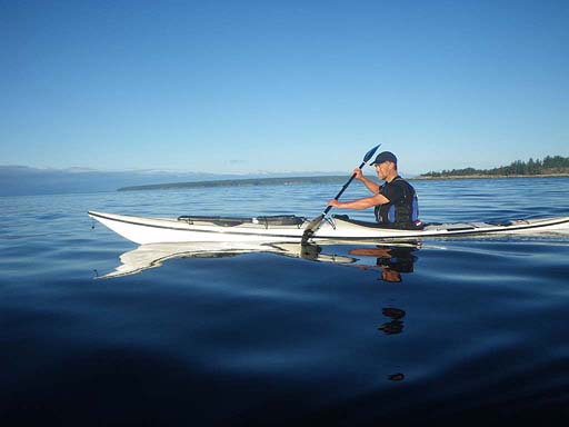 |
| Leaving the Copeland Islands |
 |
| Jenny with the peaks of Vancouver Island in the background |
 |
| A pretty sail boat we spotted from camp |
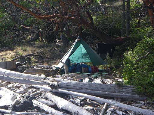 |
| Our kitchen at our camp north of Favada Point |
 |
| Beam me up! |
Day 28 – Favada Point on Texada to South Texada Island
Date: July 23
Distance: 32 nautical miles
Duration: 11 ½ hours paddling with a stop to get water
Actual conditions:
While packing up in the morning we heard the sound of whales spouting very close. Their exhalations were quite loud and they came right past our rocky point of land. Orcas! A large pod of about 10 or so were cruising the coastline hunting seals. I waited for the orcas to surface again but they didn’t immediately. A large male and a young one crossed the bay surfacing regularly farther out. The ones that had gone under stayed under all the way across the bay to the rock that had been covered with seals. The orcas came up and the seals all tried to dive into the water. There was chaos around the rock. Several orcas circled around. When it looked like they had left a couple orcas circled back around again underwater. Later as we paddled South along the coastline we could see that the hunting orcas had traumatized the seals. All of the seals we saw that day behaved very strangely. Several found little shallow narrow slots to hide in underwater as we went by. Several didn’t go into the water at all, even if we paddled really close. We also saw a lot of eagles and some turkey vultures along the way. We figured they were eating the left-overs from the seal kills. Later we could see a pod of orcas near mid channel swimming and leaping powerfully toward the horizon. We stopped at Gillis Bay to get a refill on our water. Jenny picked up a few things from the store and was able to fill up the water containers at a house near the beach access path. We paddled on and crossed over to Jedediah Island and found it to be very crowded with sailboats and motorboats all moaring in clusters. Every camp area was occupied. We circumnavigated the whole island without finding a camp so we crossed back over to Texada to a nice pebble beach.
 |
| Orcas hunting seals early in the morning |
 |
| A male orca off shore |
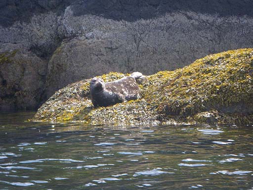 |
| One of many traumatized seals we saw that day |
 |
| Jenny on the West coast of Texada Island |
 |
| Eddy hopping down the west side of Texada Island |
Day 29–South Texada to South Ballenas Island
Date: July 24
Distance: 11 nautical miles
Duration: 2 ½ hours paddling with a stop to get water
Actual conditions:
We were up at 6:00 am and the mosquitoes were thick hanging out in our vestibule buzzing for blood. We crossed from Texada to Jedediah to Lasqueti. We then struck out to cross the Straight of Georgia. We averaged over 4 knots for the 6 mile crossing. We had stunning views in all directions. It was a really spectacular crossing. People in motor boats were already camped in the main cove at South Ballenas Island. We found a place to the North of the cove with a small pebble beach and space for a tent barely above the high tide line. There were lots of mossies so we hung out on the rocky headland to let the wind blow the mossies away. There is an eagle nest with a young eagle in the tall tree behind our tent. We took time to rest and in the evening we enjoyed a beautiful sunset.
 |
| Jenny crossing the Strait of Georgia |
 |
| Jenny crossing the Strait of Georgia |
 |
| Jenny completing the crossing to the lighthouse on North Ballenas Island |
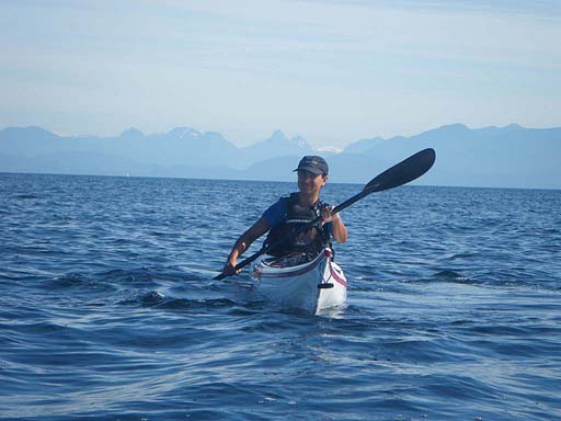 |
| Looking back across the Strait to the coast range mountains on the mainland |
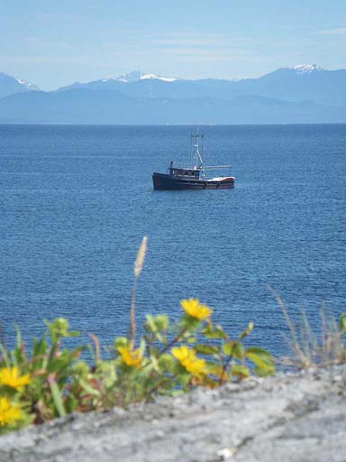 |
| A beautiful old fishing boat converted to haul kayaks |
 |
| Looking toward the mainland from South Ballenas Island |
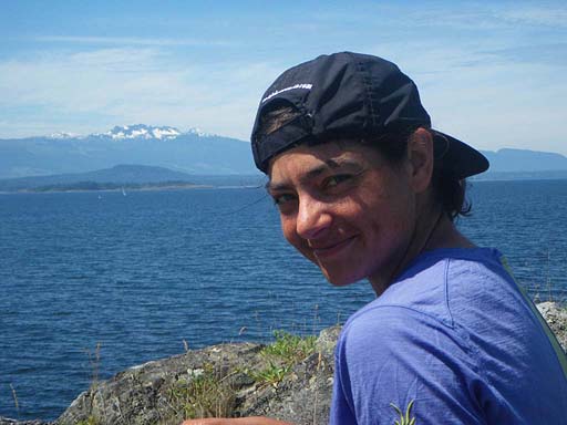 |
| Jenny with Vancouver Island mountains in the background |
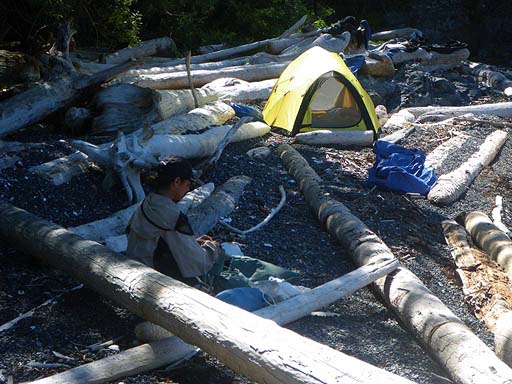 |
| Our camp on the beach |
 |
| Jenny |
 |
| Jonathan hiking south |
 |
| Looking west late in the day |
 |
| One of many beautiful sunset shots we got this evening |
 |
| Jonathan playing a tune |
Day 30–South Ballenas Island to Flat Top Island
Date: July 25
Distance: 25 nautical miles
Duration: 8 hours paddling with 2 stops
Actual conditions: NE wind 15 knots in the morning, then SE wind 20-25 knots in the afternoon
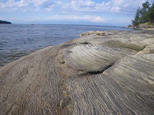
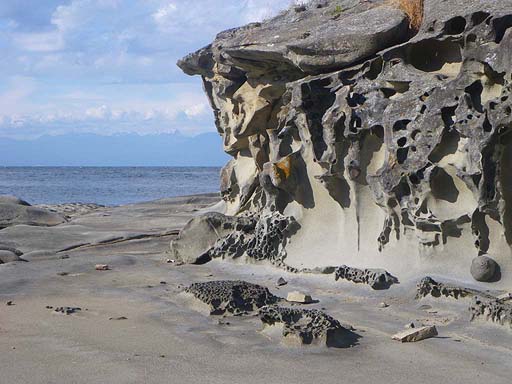
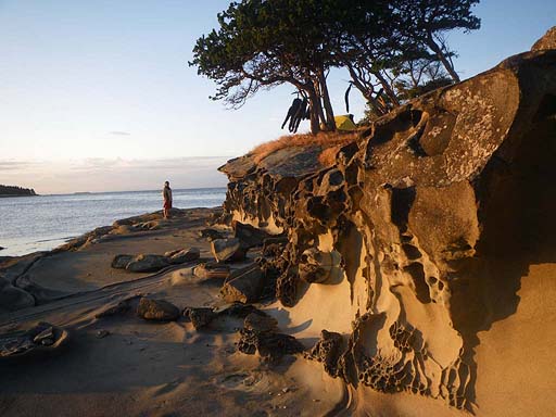
Woke up to mosquitoes in the tent! Several got us. A tough day for Jenny. She was bleeding before she woke up and it just got tougher after that! We stopped at Neck Point. We had a nice North wind leaving Ballinas and then it swung around and became an East wind. We had a nice push behind when crossing Nanaimo shipping lanes that were busy with ferries leaving. We had sprint repeats from rocky outcropping to rocky outcropping. We averaged 6 knots on the crossing, aided by some surfs in our sprint. We also saw a lot of military boats and airplanes that looked like they were doing some torpedo testing. Right after the Nanaimo Bay crossing the wind changed to a fierce South Easterly and gradually increased in strength. It became very choppy with the current against us as well. It was tough going around headlands. Around the top of Gabriola Island near Entrance Island there was a significant tidal race running. A big power boat came through just as Jenny was in it and she had some waves breaking above head height. We were paddling without drytops and the waves crashed over Jenny’s shoulders soaking her down to the toes inside her bibs. We stopped for lunch and looked for petroglyphs but didn’t find much. After leaving lunch we paddled against a strong SE wind, chop and opposing currents all the way down the outside of Gabriola Island. It was a tough day with a high "grunt factor". The camp was a beautiful little island with very cool rock formations worn away. There was a great place for our tent on top with some trees and bushes to protect it from the wind. We had sunshine and sheltered places to cook and hang out even though the wind was blasting.
 |
| Up before dawn |
 |
| Spectacular skies on the crossing to the Winchelsea Islands |
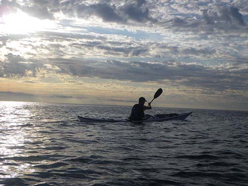 |
| Spectacular skies early in the morning |
 |
| Looking toward Vancouver Island |
 |
| Heading for Nanaimo with following seas early in the morning |
 |
| On the east coast of Gabriola with Entrance Island in the background |
 |
| Struggling up the coast of Gabriola |
 |
| One of many spectacular rock formations on Flat Top Islet |
 |
| Flat Top Islet with rough seas in the background |
 |
| A rock formation on Flat Top Islet |
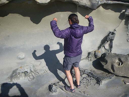 |
| You've got to be strong to complete a journey like we just did! |
 |
| Looking to the mainland from Flat Top Islet |
 |
| Built in furniture at Flat Top |
 |
| Our kayaks and camp at Flat Top |
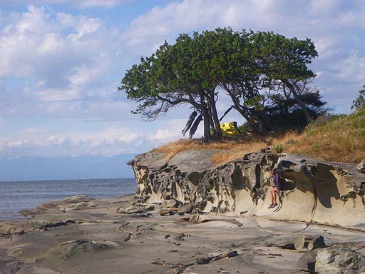 |
| Notice our bibs flying in the wind! |
 |
| A lovely tent spot |
 |
| Enjoying the evening light at Flat Top |
 |
| Us |
 |
| Never let your guard down! |
Day 31–Flat Top Island to Portland Island
Date: July 26
Distance: 32 nautical miles
Duration: 9 ½ hours paddling with a half hour lunch stop
Actual conditions: Cross winds and a strong current against us most of the day
This was another day that started out against the current and wind all the way to Nose Point. Even the eddies weren’t cooperating today. It was a long slog! We passed a camp on Salt Springs and it was packed. We paddled on hoping for a site on Portland Island and ended up having the place to ourselves. Because of the busy ferry lanes going to Sidney we had a sprint finish crossing over. We set up as the sun was going down. It was a beautiful spot, but cool, wet and threatening to rain. Nothing dried out. We hung our paddling gear and clothes under our shelter for the night. It was a long hard paddle against the elements all day and it ended up being the only day of the trip where we didn't take any pictures.


No comments:
Post a Comment